


20140807 Tostes projet

Childebert
User
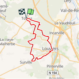

Length
26 km

Max alt
151 m

Uphill gradient
414 m
Km-Effort
31 km

Min alt
18 m

Downhill gradient
412 m
Boucle
Yes
Creation date :
2018-06-26 16:20:00.536
Updated on :
2018-06-26 16:20:00.536
6h20
Difficulty : Medium

FREE GPS app for hiking
 SityTrail
IGN / Geographical institutes
SityTrail Plus
The world is yours!
About
Trail Walking of 26 km to be discovered at Normandy, Eure, Terres de Bord. This trail is proposed by Childebert.
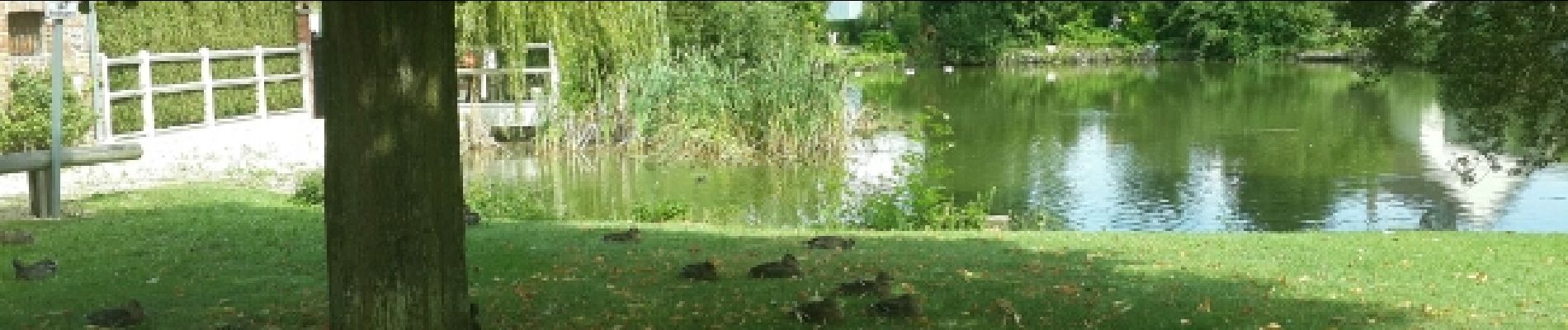
Photos


Positioning
Country:
France
Region :
Normandy
Department/Province :
Eure
Municipality :
Terres de Bord
Location:
Tostes
Start:(Dec)
Start:(UTM)
362582 ; 5457989 (31U) N.
Comments